
The Navisys GR-9029 is a centimeter-level accuracy RTK GNSS data logger, featuring a POI (Point of Interest) button for easy waypoint collecting.

This guide should help you effectively use the Navisys GR-9029 for precise waypoint collection.
Connect the GR-9029 to your iPhone or Android phone.
For detailed instructions, please refer to the documentation provided below.
- If you are using an IOS device, please click here.
- If you are using an Android device, please click here.
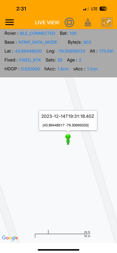
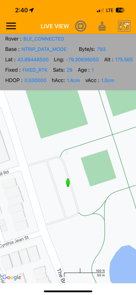
After setup, you should be able to achieve a ‘Fixed_RTK’ status as shown in the screenshot below.

Collecting Waypoints
Step 1:
Press and release the button on the GR-9029 to create a drop pin.

A popup window will appear above the drop pin, displaying the current date and time, along with the coordinates of your location.
Step 2:
Tap on the popup window to prompt saving this location into a file.
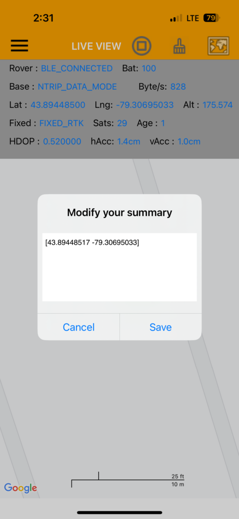
The file will be named using the prefix “log” followed by the date and time. The file extension will be “pin.”
Repeat steps 1 to 2 to collect all the waypoints you wish to record.
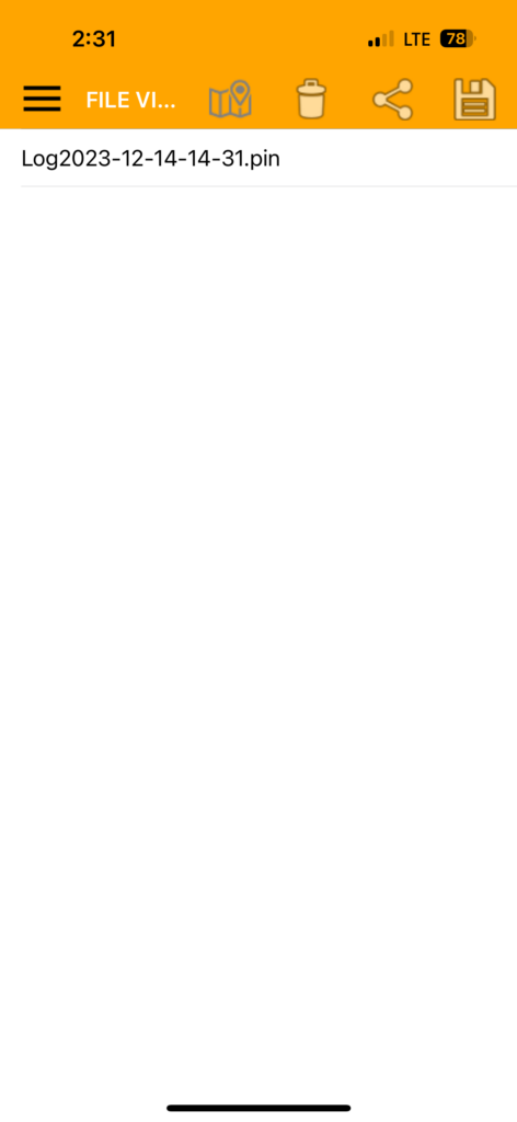
Display the waypoint on Google map (Optional)
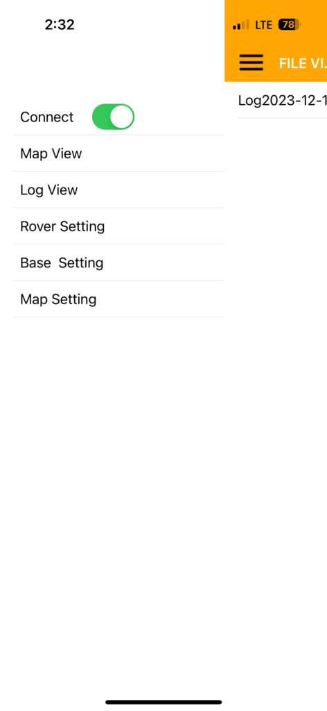
To display the waypoints on Google Maps, simply select “log view” from the menu,
choose the relevant PIN file, and then click on the Map button.
This will show the recorded waypoint on Google Maps.
Navisys RTK GNSS can be purchased from:
https://gpswebshop.com (US & WorldWide)
https://canadagps.ca (Canada)